The Hard Right
This is the sixth installment in our series showcasing the Historic Markers placed around the original race circuit on the public roads in Elkhart Lake.

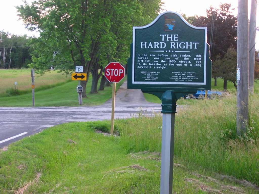
After exiting Briggs’ Bend the track ran up-hill to a soft rolling peak and then headed back down hill to the “Hard Right” the last turn of the original race circuit. The marker found at this intersection of Birchwood Drive (County JP formally County X) and County P reads; “In the era before disk brakes, this corner was one of the most difficult on the 1950 circuit, due to its location at the end of a long downhill straight”. This marker was donated by; Tom and Sharon Malloy and Tom Malloy Collection (Historic Race Circuits of Elkhart Lake).
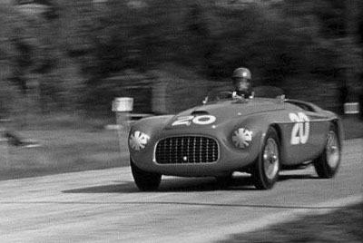
In 1950 this section of the race circuit known as County X (now County JP) from Ted’s Turn, through Peck’s Alley and Briggs’ Bend to the Hard Right was thought by many of the drivers to be the most challenging section of the race circuit.

Following the success of the first year, the circuit was changed to make the race events more interesting. The racing committee picked a new 5.3 mile route for the upcoming year, which went through the village and circumvented the lake located on the south side of County X. Drivers considered County X too dangerous and protested, and the course was changed just before the 1951 race.
A revised plan was developed that excluded the treacherous stretch of highway, which was previously used on the old circuit north of the lake. The decision was made to add the old circuit to the new route, where it was divided by County X. The total circuit length was increased to 6.5-miles.


